

The Coal Roads
By Andy Crawford
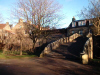
This walk begins and ends in the ancient Fife village of Ceres, population around 1,000, and home to the oldest Highland Games in Scotland which are held annually on the Bow Butts. Ceres also hosts the Fife Folk Museum, many interesting old buildings, and one or two good 'watering holes' as well, all of which are well worth a visit at the end of the walk. There was once a brewery in 'Kirklands', the old manse, which was worked by the monks and survived for quite a long time after the last monk had disappeared.
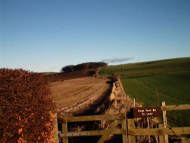
As well as satisfying agriculture demands, the route of this walk follows that used by monks and pilgrims. The monks mined coal in the surrounding area - most likely opencast rather than deep shaft. Under certain weather conditions, many of the freshly ploughed fields along the way exhibit black tracts that contain trace elements of coal, even today. One of the low ridges is known as the Pilgrims' Way and was once an important route from Dunfermline Abbey to St Andrews Cathedral.
From the car park head out over Auld Brig, taking care if underfoot conditions are wet - the cobbles will be slippy - and turn left along High Street, the oldest part of the village. At the last cottage on the right, turn right and then left again at the end of a fenced, children's play area. Cross the road, carefully, and walk along School Hill past the primary school to a gate in the right hand corner of the cul-de-sac, where a sign indicates the 'Footpath to Callange'.
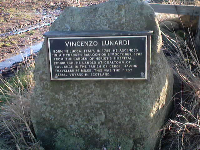
The path follows the field edge to a wider track leading left, up a slight gradient, through a small stand of trees to a gate. There is a small stile to the right of the gate that was once the most favoured route, but now leads into a cultivated field. Pass through the gate and on towards another stand of trees where a substantial stile lets walkers cross a barbed wire fence. Continue from here until reaching the B940 road. On the right, at the junction, is a plaque fixed to a boulder recording the first hydrogen balloon flight in Scotland in 1785 - 46 miles from Edinburgh and landing near this spot - by an Italian, Vincenzo Lunardi. Turn right and walk carefully up the road to two bungalows, between which lies a wide driveway leading past Lower Baldinne to Burnsquare.
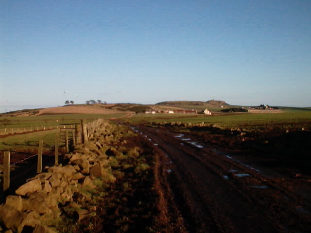
On reaching Burnsquare, bear right onto a grassy track, pass through a couple of rickety wooden gates, cross over a small burn and continue up to another wide driveway following a line of massive old beech trees out through Wilkieston Farm to the Strathkinness to Peat Inn road. Turn left here and walk up the road for three quarters of a mile to a junction, on the left, signposted to Drumcarro (sic) Farm. A few steps along this road is a farm track leading up through two gates to give access to Drumcarrow Craig - home to a couple of unsightly telecommunications masts - but worth a detour for some of the finest views of the surrounding area, both near and far, the opportunity to see the hut circles and to have some shelter, if it's required, for a lunch-break. Walk west along the ridge, down through a gate then on, following the line of the power cable posts, before bearing left through the gorse bushes onto a farm track that leads out, left, between two cottages, to Drumcarro Farm.
Turn right here and continue along another stretch of road to a right angle bend, just past Ladeddie Farm, ahead of which is another wide farm track over Kinninmonth Hill. There is evidence here of this track having been an ancient coach road with its now crumbling dykes on either side. From where this tracks starts its descent to Kinninmonth Farm, note the change in the type of stone used in the construction of a section of the wall on the right. Regular, mostly hexagonal pieces of basalt columns take the place of the more irregular granite and sandstone used in other walls along the route. Descend through the farm to the B940, turn left over the road bridge and almost immediately right again onto a wide track that was a continuation of the coach road leading over to the, one-time, County Market Town of Cupar. This track crosses an interesting triple arched bridge over the Ceres Burn - built in the late 18th Century - and out to join the B939. Turn left and walk along the roadside back to the Ceres.
If, on reaching bridge, the fields to the left are not planted out, it is possible to follow the line of the burn and the fence to join up with a wide track, over a small rise, to a small row of derelict cottages at Newbigging of Ceres Farm. Turn left here, up the slight incline, then right at the junction onto the track that leads back to School Hill and the village.
WALK FACTS
Distance 9 miles/14.4km.
Map OS Landranger sheet 59.
Start/parking Off South Croftdyke, Ceres, on the south side of the B939 - signposted as the Car Park for the Fife Folk Museum. GR: NO 400 114
Grading Mostly on good tracks with some road walking. Much of the route passes through farms and agricultural land therefore dogs MUST be kept on a lead and under strict control.
![]()